Bidspirit auction | Antique Map of the United
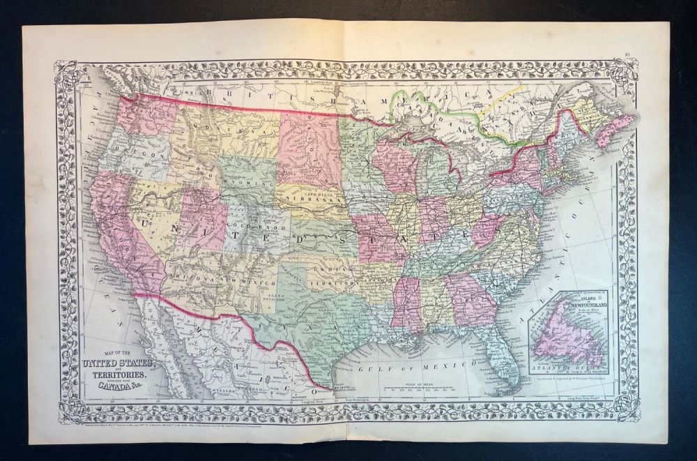
Antique Map of the United States and Territories by S. A. Mitchell, Jr. 1867 - Large Antique Hand-Colored Map of the United States and Territories Together with Canada by S. Augustus Mitchell Jr. | Published: Philadelphia: S.A. Mitchell Jr., 1867 - Prepared by W. Williams for inclusion as map no. 10 in the 1867 issue of Mitchellís New General Atlas | Lithography with original hand color | Approx. Size: 23.5” W x 15.25” H. With decorative floral border. Depicts the entirety of the continental United States along with parts of Canada and Mexico. Shows the country in considerable detail with notations regarding railroads, mail routes (including the famed Pony Express Route), emigrant routes westward, topographical, and political details. One of the most attractive American atlas maps of the United States to appear in the mid 19th century. Features the floral border typical of Mitchell maps from the 1866-87 period. Prepared by W. Williams for inclusion as map no. 10 in the 1867 issue of Mitchell’s New General Atlas. Dated and copyrighted, “Entered according to Act of Congress in the Year 1867 by S. A. Mitchell Jr. in the Clerk’s Office of the District Court of the U.S. for the Eastern District of Pennsylvania.”