Bidspirit auction | Early 18th c. H/C Map
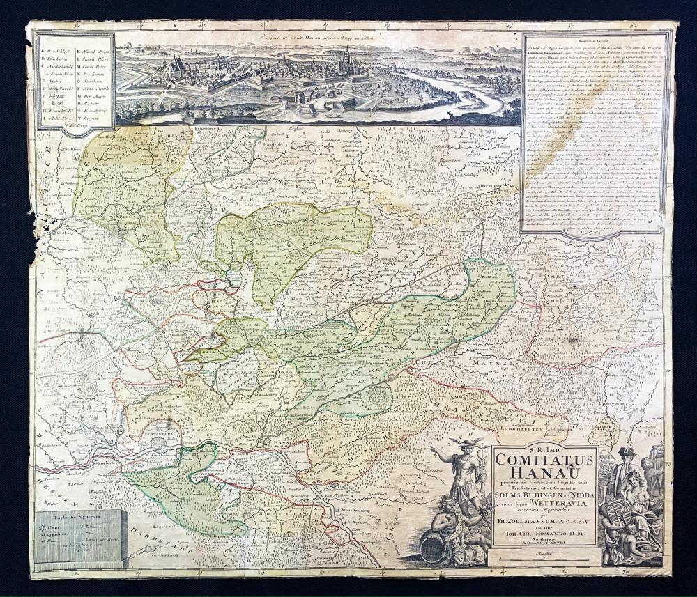
Early 18th c. H/C Map of the County of Hanau, Holy Roman Empire - Early 18th Century Hand-colored copper engraved map of the County of Hanau in the Holy Roman Empire | Cartouche title 'S. R. Imp. Comitatus Hanau proprie sic dictus, cum singulis suis Praefecturis; ut et Comitatus Solms Budingen et Nidda cumreliqua Wetteravia et vicinis regionibus' [Trans. S. R. IMP. The county of Hanau, properly speaking, this so-called, with all its Praefecturis; that the County of Solms Budingen Widda cumreliqua Wetteravia and the neighboring countries] | Authors: Friedrich Zollmann (1690-1762) & Johann Christoph Homann (1701-1730) | Published: Noribergæ, 1728 [per Fr. Zollmannum, A. C. S. S. V. curante Ioh. Chr. Homanno. D. M. Noribergae. A. Dom MDCCXXVII].