Bidspirit auction | [PICS] 17th c. Atlas Map
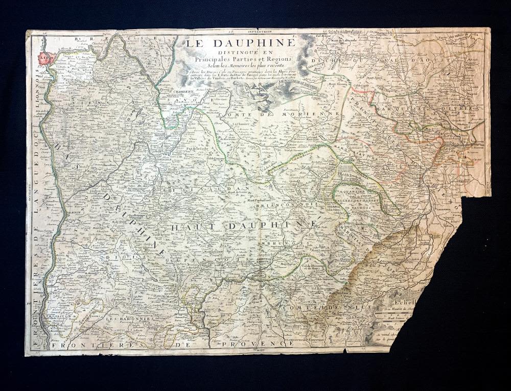
[PICS] 17th c. Atlas Map LE DAUPHINE DISTINGUÉ EN PRINCIPALES PARTIES ET REGIONS Nicolas de Fer - 17th Century Atlas Map LE DAUPHINE DISTINGUÉ EN PRINCIPALES PARTIES ET REGIONS by Nicolas de Fer (1646-1720) | Published: Paris: N. De Fer, 1693 [1709, 'Atlas ou Recueil de Cartes Geographiques'] | Fine detailed hand-colored map with attractive cartouches the map extends from Lyon in the south to Chatillon in the north. Pastoureau Fer II C no. 30. Le Dauphine distingué en Principales Parties et Regions Selonles memoirs les plus recents [The Dauphine distinguished in Main Parts and Regions according to the most recent memoirs] | According to the most recent Memories: With the Various Passes or Practical Passages in the Alps to enter the Estates of the Duke of Savoye, in which there are the Valleys of the Vaudois or Barbets. Dedicated to Monseigneur le Deuphin by N. de Fer 1693