Bidspirit auction | Karl Spruner
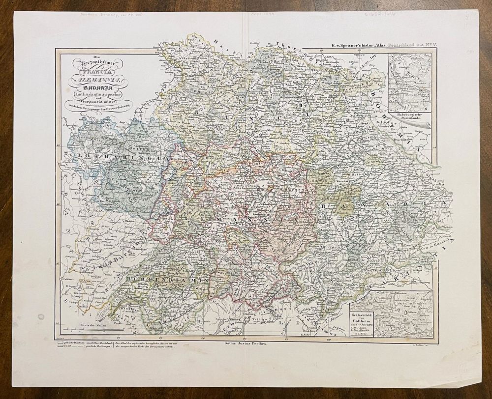
Karl Spruner - Antique H/C Map of Francia, Alemannia, Bavaria by Karl Spruner von Merz. Rare Antique Hand-colored Map of FRANCIA, ALEMANNIA, BAVARIA, LOTHARINGIA SUPERIOR, BURGUNDIA MINOR, AFTER THE FALL OF THE DISTRICT CONSTITUTION by Karl Spruner von Merz, 1863 | From K.v.Spruner's Histor. Atlas: Deatschland u.a. No. V. | Approx. Size: 14.75” H x 18” W | Full Title: The Herzogthumer Francia, Alemannia, Bavaria, Lotharingia superior and Burgundia minor, after the fall of the district constitution. (with) Habsburg ancestral lands. (with) Battlefield of Gollheim on the 2nd. July 1298. E. Luther sc. K.v. Spruner's histor. Atlas: Germany i.a. No. V. Gotha: Justhus Perthes. Rev. 1863 {Die Herzogthumer Francia, Alemannia, Bavaria, Lotharingia superior und Burgundia minor, nach dem Untergange der Gauverfassung. (with) Habsburgische Stammlande. (with) Schlachtfeld von Gollheim am 2ten. July 1298. E. Luther sc. K.v. Spruner's histor. Atlas: Deutschland u.a. No. V. Gotha: Justhus Perthes. Rev. 1863] | From the Historical-geographical hand-atlas on the history of the states of Europe from the beginning of the Middle Ages to the most recent times by Dr. Karl von Spruner ... Three and Seibzig colored cards together with explanatory preliminary remarks. Second edition. Gotha: at Justhus Perthes. 1854 (-1863) [Historisch-geographischer Hand-Atlas zur Geschichte der Staaten Europa's vom Anfang des Mittelalters bis auf die neueste Zeit von Dr. Karl von Spruner ... Drei und Seibzig colorirte Karten nebst erlauternden Vorbemerkungen. Zweite Auflage. Gotha: bei Justhus Perthes. 1854(-1863)]