Bidspirit auction | 17th c. Map of Holy
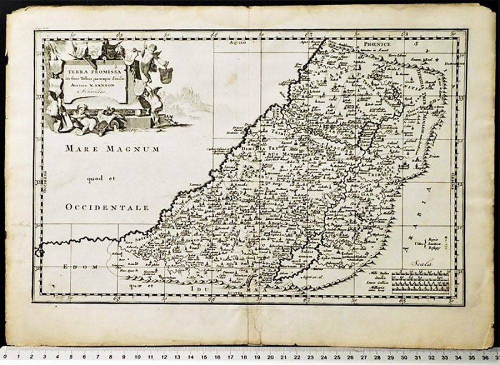
17th c. Map of Holy Land / Location of Tribes by Juan - 17th c. Map of the Promised Land Entitled TERRA PROMISSA IN SUAS TRIBUS PARTESQUE DIUISA [Promised Land Divided by Tribes]. Page 201. Blank verso | by Juan Baptista Villalpando (1552-1608) | Map is engraved by Nicolas Sanson, Albavillaeo, Jan Goeree | Published after the Synod of Dordrecht in 1637 | Copperplate Engraving on Laid Watermarked Paper | Approx. Dimensions: 10.1” H x 14.7” W (257 x 373mm) | Shows the location of the twelve tribes in the Holy Land. Title cartouche surrounded by cherubs with a scene of the Sermon on the Mount in the background. Villalpando was a Spanish Jesuit scholar & architect, who drew reconstructions of the classical city based on the assumption that the buildings of Jerusalem were designed using the laws of geometry and based on the ideals of the Roman writer Vitruvius. His plan of Jerusalem would become the most influential and copied plan of the ancient city over the next 100+ years.