Bidspirit auction | 1835 H/C Engraved MAP OF
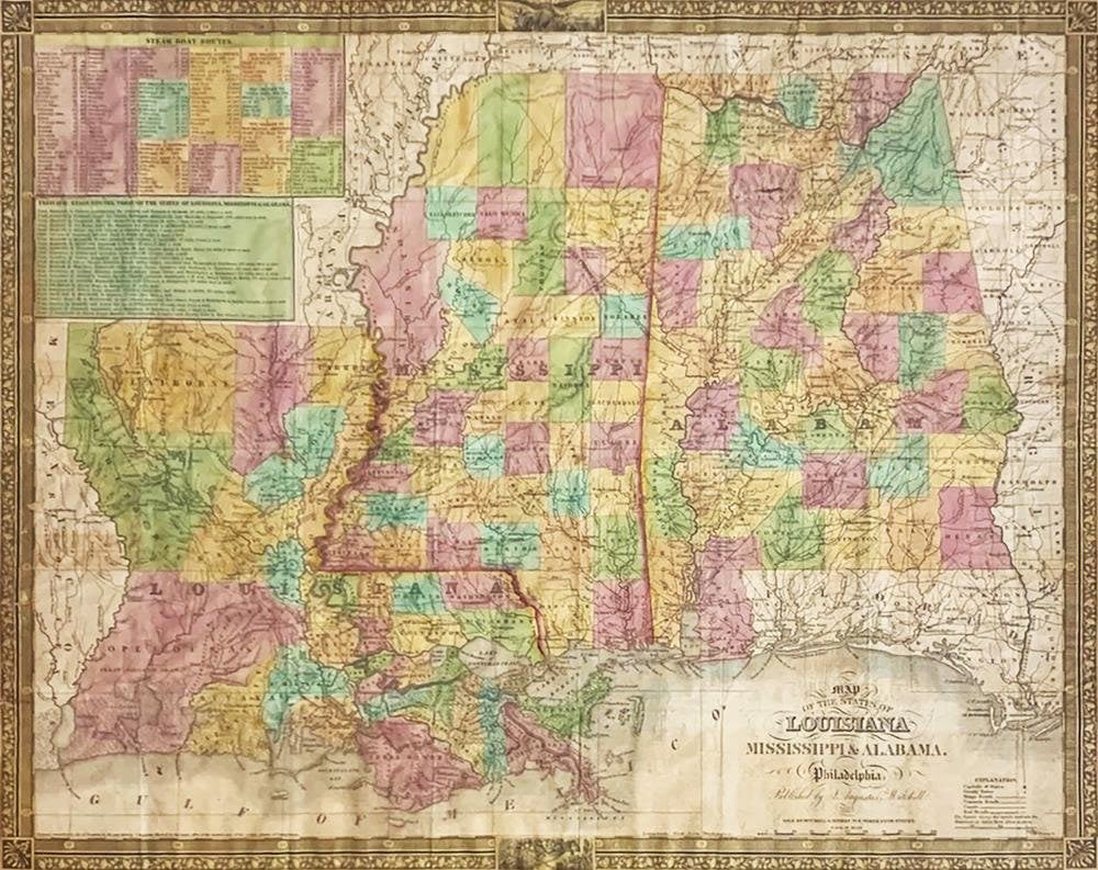
1835 H/C Engraved MAP OF LOUISIANA, MISSISSIPPI AND ALA - Hand-colored Engraved Map of Louisiana, Mississippi and Alabama | Published by S. Augustus Mitchell (1790-1868), Philadelphia, 1835 | Approx. Size: Sight: 17” H x 21.25” W | Samuel Augustus Mitchell (1790, Bristol, Connecticut – December 20, 1868, Philadelphia) was an American geographer | Short Title: Louisiana Mississippi & Alabama | Type: Pocket Map | Note: From the Finley 1826 American Atlas, reissued by Mitchell in 1831. Adds steamboat routes and stage routes. As Mitchell issued improved editions of Finley's American Atlas maps, the borders became more elaborate, as is the case here, and the map covers added a more decorative design; covers are black leather 13.5x8.5 with ”Mitchell's Map Of Louisiana Alabama & Mississippi” in gilt. Full color. This copy shows many new counties in all three states, roads, etc. when compared with the 1831 edition. Inside the front cover ”Census Of 1830” for all three states. Prime meridian is Washington D.C. Relief shown by hachures | Full Title: Map Of The States Of Louisiana Mississippi & Alabama. Philadelphia: Published by S. Augustus Mitchell. 1835. Sold By Mitchell & Hinman No. 6 North Fifth Street. Entered ... 1834, by S. Augustus Mitchell ... Pennsylvania. J.H. Young Sc | Pub Title: Map Of The States Of Louisiana Mississippi & Alabama. Philadelphia: Published by S. Augustus Mitchell. 1835. Sold By Mitchell & Hinman No. 6 North Fifth Street. Entered ... 1834, by S. Augustus Mitchell ... Pennsylvania. J.H. Young Sc.