Bidspirit auction | Pair of 18th c. LA
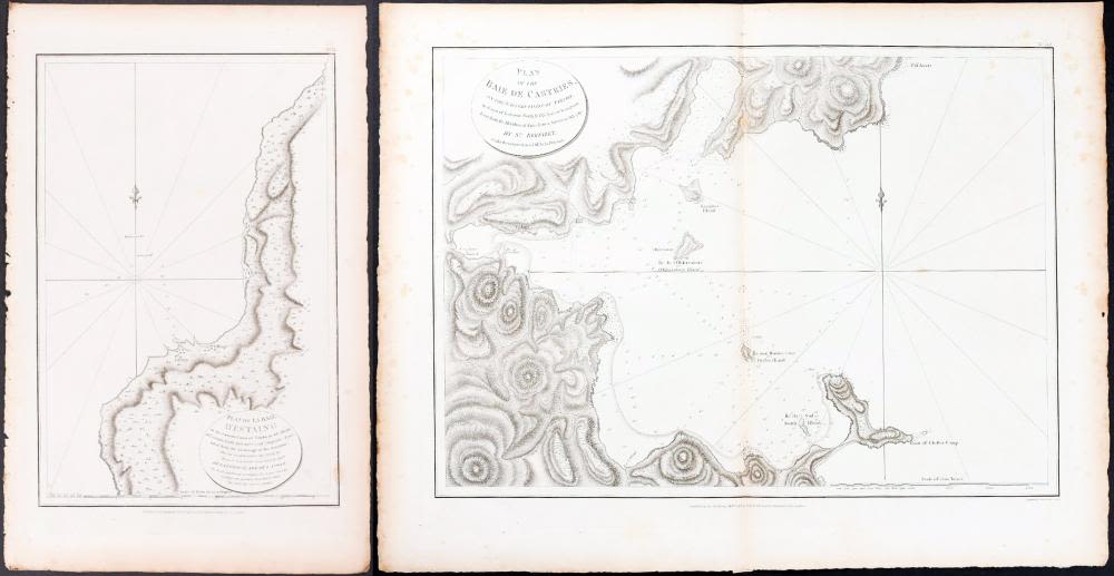
Pair of 18th c. LA PÉROUSE Map Engravings - Voyage of La Pérouse, Plates 51 & 52 - Pair of the Original 18th c. LA PÉROUSE copperplate engraved maps - Plates 51 & 52 - from The Voyage of La Pérouse Round the World in the Years 1785, 1786, 1787, and 1788 | Published as the Act Directs by G.G. & J. Robinson, Paternoster Row, London 1797-1798 | Plate 51: Plan of la Baie d'Estaing on the Eastern Coast of Tchoka; Plate 52: Plan of the Baie de Castries on the Eastern Coast of Tartary | Approx. Dimensions: Plate 51: 11” W x 17.5” H; Plate 52: 21.75” W x 17.5” H | Jean François de Galaup, comte de Lapérouse (French: [ʒɑ̃ fʁɑ̃swa də ɡalo kɔ̃t də lapeʁuz]; variant spelling of his name: comte de La Pérouse; 23 August 1741 – 1788?) was a French naval officer and explorer whose famous expedition vanished in Oceania.