Bidspirit auction | 16th c. Map, Israel, Middle
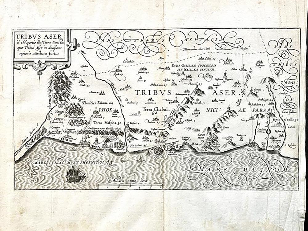
16th c. Map, Israel, Middle East - TRIBUS ASER by Christian van Adrichom - 16th c. Engraved Map of Israel, Middle East - TRIBUS ASER [Territory of the Tribe of Asher in the Holy Land] by Christiaan van Adrichem, (1533-1585) and Arnold Mylius (1540-1604) | Published: Antwerp / 1590 | Map shows the lands assigned to the Tribe of Asher by Moses, and Numerous biblical sites are depicted and identified by both name and number, and are more fully described in Adrichom's text | From the original 1590 edition of Theatrum Terræ Sanctæ et biblicarum historiarum : cum tabulis geographicis ære expressis | By Christiaan van Adrichom, (1533-1585) and Arnold Mylius (1540-1604). Topics: Atlas, cartographic image-cri, Christian pilgrims and pilgrimages, and pictorial works (Latin). Full Title: Tribus Aser id est, portio illa Terræ Sanctæ, quæ Tribui Aser in divisione regionis attributa fuit Approx. Dimensions: 9” H x 15.75” W (23 × 40 cm) Christian Kruik van Adrichem [Adrichom], or Christianus Crucius Adrichomius, (February 13, 1533 – June 20, 1585) was a Catholic priest and theological writer. Provenance: From the prominent Israel collection of Raphael Rivkin, Jerusalem, Israel.