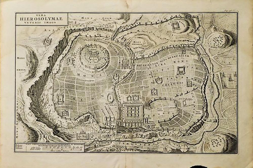
Bidspirit auction | 17th c. Map of Jerusalem
17th c. Map of Jerusalem by Juan Baptista Villalpando - 17th c. Map of Jerusalem Entitled VERA HIEROSOLYMAE VETERIS IMAGO [True Picture of Old Jerusalem] byJuan Baptista Villalpando (1552-1608) | Map is engraved by Nicolas Sanson, Albavillaeo, Jan Goeree | Published after the Synod of Dordrecht in 1637 | Map is engraved on watermarked laid paper, blank on verso | Approx. Dimensions: 10.1” H x 14.7” W (257 x 373mm) | A Nice example of Juan Batista Villalpando's rare 2-sheet plan of Jerusalem, based upon Ezekiel's prophecies in the Old Testament. Villalpando was a Spanish Jesuit scholar & architect, who drew reconstructions of the classical city based on the assumption that the buildings of Jerusalem were designed using the laws of geometry and based on the ideals of the Roman writer Vitruvius. His plan of Jerusalem would become the most influential and copied plan of the ancient city over the next 100+ years.