Bidspirit auction | Lambert - Map of the
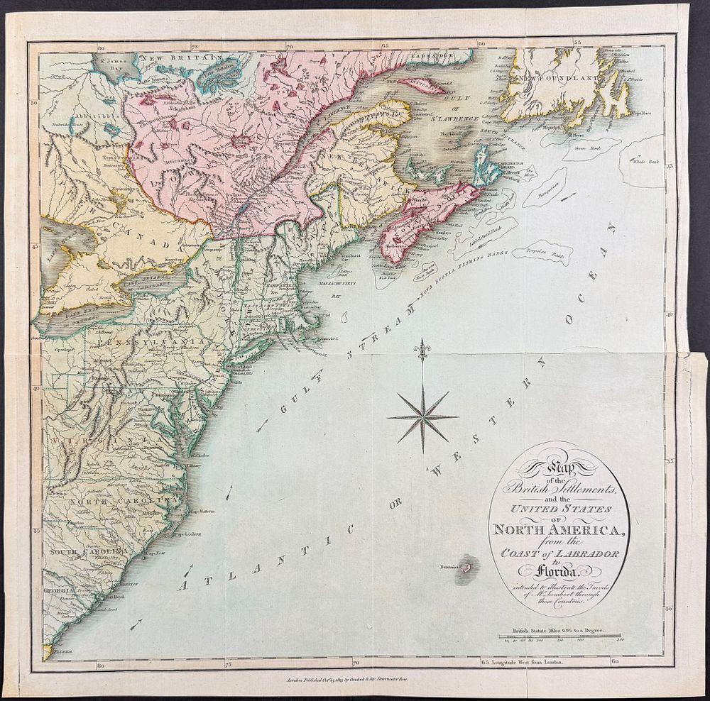
Lambert - Map of the British Settlements and the United States of America from the Coast of Labrador to Florida - This fascinating engraved map is from John Lambert's Travels through Canada, and the United States of North America, in the years 1806, 1807, & 1808 . This is from the second edition, first issue published in London in 1813. Lambert's work renewed the British fascination with North America's landscapes, peoples, flora, and fauna. It included first hand descriptions of early American life. Provenance: Bookplate of Grolier Club President, Edwin B. Holden (1861–1906) Paper Size: ~ 15 3/4 - 16 1/2” by 16 1/4” (Fold Out) Paper Type or Special Features: Originally Hand-colored Engraving