Bidspirit auction | Santini after D'Anville - Map
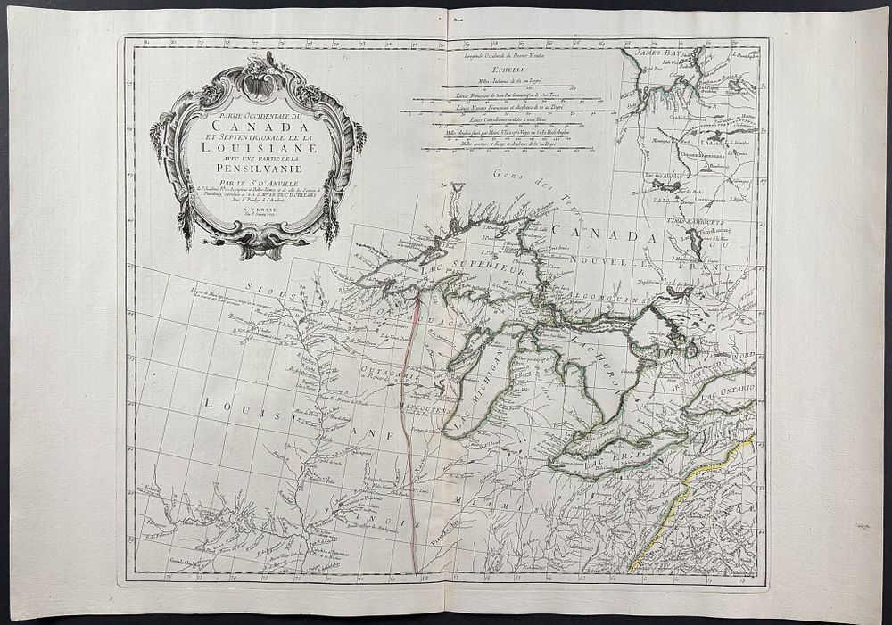
Santini after D'Anville - Map of Northeast America with the Great Lakes & Mississippi River [Partie Occidentale du Canada et Septentrionale de la Louisiane avec une partie de la Pensilvanie] - This scarce map is by Paolo Santini and entitled ”Partie Occidentale du Canada et Septentrionale de la Louisiane avec une partie de la Pensilvanie.” It was published in Venice in 1775 by Santini & Remondin. The map depicts the region of the upper Mississippi, the Great Lakes (most of Lake Ontario), and James Bay. The map was based upon D'Anvilles 1746 map of North America. Paper Size: ~ 30 by 21” (Fold Out) Paper Type or Special Features: Engraving with Original Outline Color