Bidspirit auction | Lotter, Hawaii - First Chart
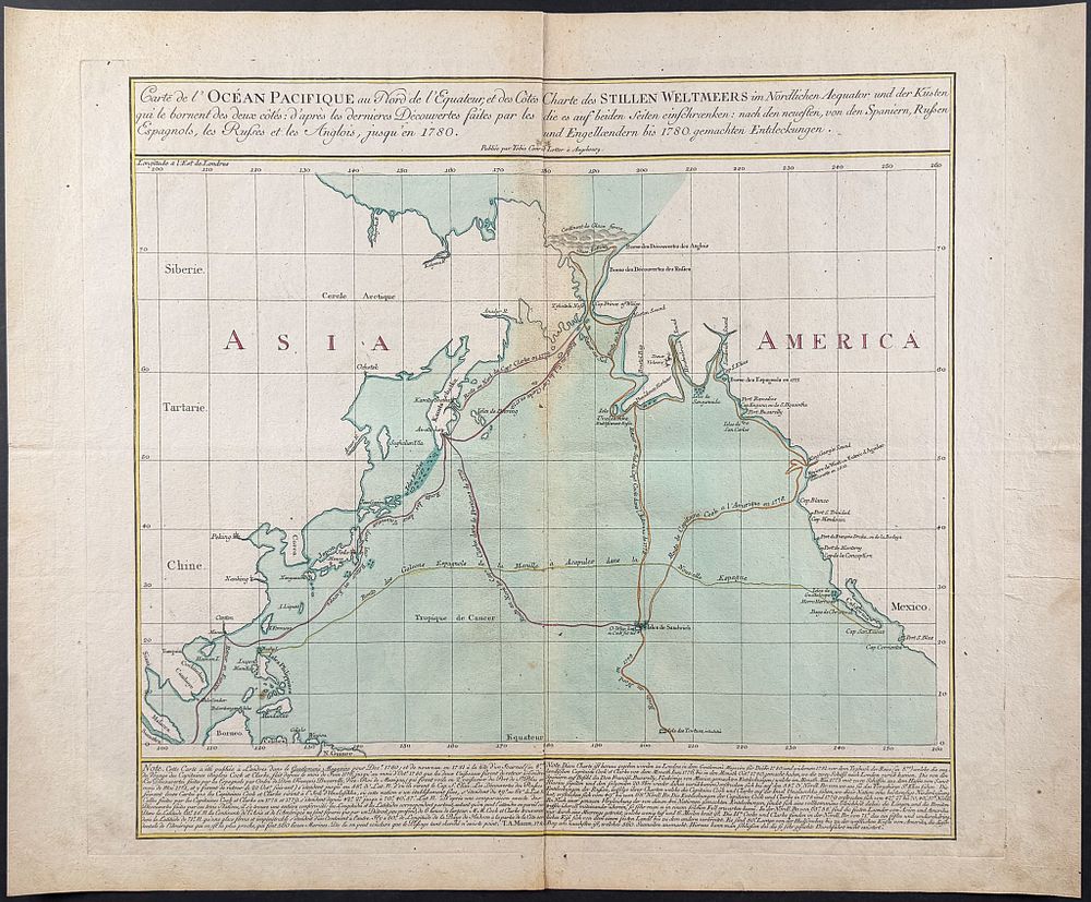
Lotter, Hawaii - First Chart of the Pacific to include Hawaii [Carte de l'Ocean pacifique au Nord de l'Equateur..] - This rare and important map is Tobias Lotter's Carte de l'Ocean pacifique au Nord de l'Equateur, et des Cotes qui le bornent des deux cotes: d'apres les dernieres Decouvertes faites par les Espagnols, les Russes et les Angolis, jusqu'en 1780 or Map of the Pacific North of the Equator, and the Coasts that Bound it on both Sides, after the recent discoveries by the Spanish, Russians, and the English, up to 1780 . It was published in Augsburg in 1781 by Lotter. This map is the first to include Hawaii, and also includes the path of Cook's third and final voyage. Tobias Conrad Lotter (1717-1777) was a German engraver, cartographer, and publisher in Augsburg. He worked for Matthaus Seutter and married his eldest daughter. After the death of Seutter and his son, Lotter took over the shop and continued printing maps. Paper Size: ~ 21 3/8” by 25 3/4” (Fold Out) Paper Type or Special Features: Engraving with Original Wash Color