Bidspirit auction | Baarsel - Rare Chart of
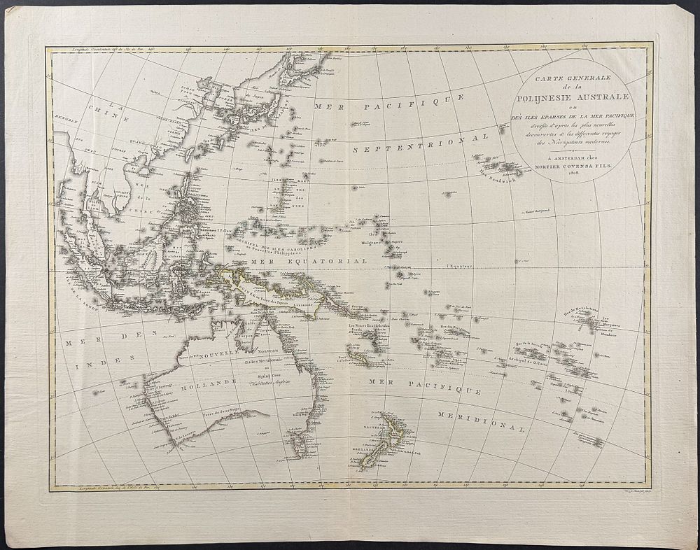
Baarsel - Rare Chart of Western Pacific with Australia, New Zealand, Asia [Carte generale de la Polijnesie Australe ou des iles eparses de la Mer Pacifique] - This map is Willen van Baarsel's Carte generale de la Polijnesie Australe ou des iles eparses de la Mer Pacifique or General Map of Southern Polynesia or the Scattered Islands of the Pacific Ocean . It was published by Mortier, Covens et Fils in Amsterdam in 1808. The map closely follows Johann Reinecke's map from 1801, which was notable for being the first German map to depict Tasmania as a totally separate island. This map depicts many Pacific islands and is notable for depicting an elongated New Guinea and a trapezoidal Korean Peninsula. Willem Cornelius van Baarsel (1761-1826) was a Dutch cartographer and engraver. He was born in Utrecht and moved to Amsterdam at a young age with his family. Under King Louis Napoleon Bonaparte, he was appointed to a position in the government as an engraver in Paris, but returned to Amsterdam five years later. Paper Size: ~ 21” by 21 1/8” (Fold Out) Paper Type or Special Features: Engraving with Original Outline Color