Bidspirit auction | Doncker, pub. 1670 - Map
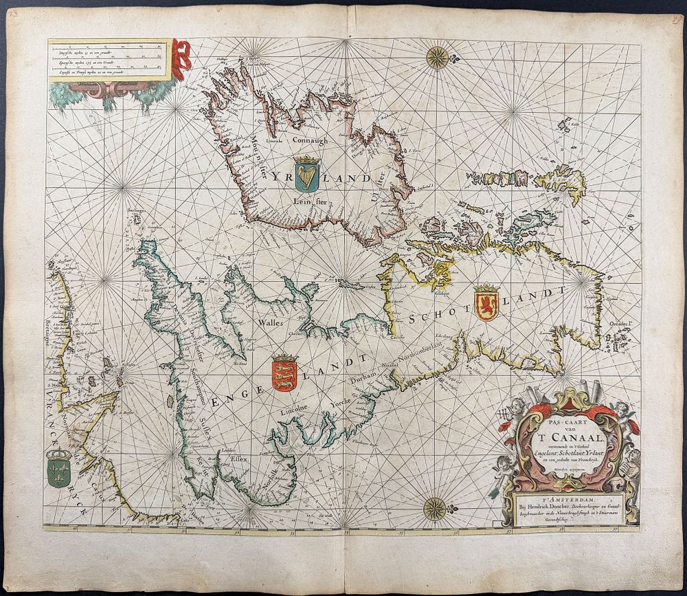
Doncker, pub. 1670 - Map of the British Isles - This originally hand-colored engraved map is from Hendrick Doncker's De Zee-Atlas ofte Water-Waereld, vertoonede alle de Zee Kusten van het bekende deel des Aerd-Bodems, Met een generale beschrijvinge van dien. Seer dienstigh vooralle Schippers en Stuurlieden; mitsgaders Kooplieden om op't Kantoor gebruykt te werden Nieuwe Amsterdam . The work was published in Amsterdam by Hendrick Doncker in c1670 (frontispiece dated 1659) (Koeman's Don 12B). The Dutch sea atlas was an important maritime atlas of the later 17th century helping to aid in long distance trade. Maps from this atlas were intended for commercial use by merchants, shipmasters, and pilots interested in coastal geography, especially regions where the Dutch of the time would have traded. Hendrick Doncker (1626-1699) was a Dutch cartographer, bookseller, publisher, and maker of navigational tools. His maps were widely copied. He was known to take old and inaccurate maps to improve and publish. His son, Hendrick Doncker II, was also a cartographer and engraver. Doncker's maps were prized for their practical application and attention to detail as well as incorporating rhumb lines, compass roses, and scale bars. Provenance: Ownership inscription ”J.G. Nörbye | d. 20 - 12 - 92 ” to front pastedown Paper Size: ~20 1/4” by 22 1/2” Paper Type or Special Features: Originally Hand-colored Engraving