Bidspirit auction | Rojas - Chart of the
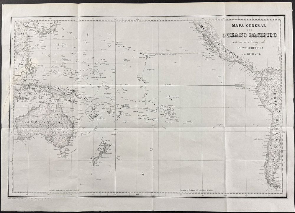
Rojas - Chart of the Pacific Ocean showing Hawaiian or Sandwich Islands, Australia, New Zealand - This historic lithograph is from the rare first edition of Francisco Michelena y Rojas's Viajes científicos en todo el mundo, desde 1822 hasta 1842; durante los cuales fueron visitadas... The work was published in Madrid in 1843 by I. Boix. The work depicted a rare Pacific voyage and was sold by subscription. ”This is one of the rarest and least-known voyages to the Pacific. Michelena y Rojas, a native of Venezuela, crossed the Pacific from Mazaltan, Mexico, in the years 1840-41, exploring the Hawaiian Island chain, describing its political history (portraits of Kamehameha III and Governor John Adams are two of the lithographed plates), traditions, and customs. From there he sailed to Tahiti, Rotuma, Australia (a fine map of Sydney in 1840 enhances this section), Vanikoro, Guam in the Marianas, the Caroline Islands, Philippines, Macao, and Singapore. A large folding map of the Pacific Ocean traces his route.” (Hill) ”This work is cited in a few scattered bibliographies with the erroneous annotation that it contains the author's seven voyages. Actually the entire work covers only the Pacific Voyage, the sixth and most important...” (Hill) Paper Size: ~ 20 3/4” by 14 3/4” (Fold Out) Paper Type or Special Features: Lithograph