Bidspirit auction | Seutter - Map of the
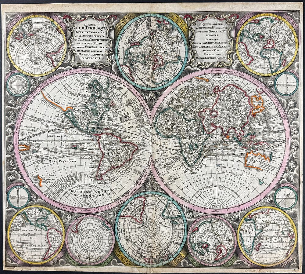
Seutter - Map of the World - This exceptional folio map is from Georg Matthaeus Seutter's Atlas Novus sive Tabulae geographicae totius orbis faciem... The atlas was published in Augsburg circa 1730. The map is entitled Diversi Globi Terr-Aquei Statione Variante Et Visu Intercedente Per Coluros Tropicorum, Per Ambos Polos Et Partciul Sphaerae Zenith In Planum Delineati Orthogranici Prospectus . It is a striking engraving of the evolving world-view of the early 18th century. The map incorporated the classical windheads, but the composition lends to a more scientific representation of the Earth. It still features California as an island as well as the undefined American Northwest, labeled 'Terra Essonis'. Australia (New Holland) and New Zealand have partial coastlines represented. There are twelve smaller projections surrounding the map exploring polar projections. It also notated the voyages of Abel Tasman and Ferdinand Magellan. Georg Matthäus Seutter (1678-1757) was one of the most important German mapmakers of the eighteenth century. Born in Augsburg in 1678, he became an apprentice to the renowned cartographer Johann Baptiste Homann in Nuremberg. In 1707 he established himself as a map publisher in Augsburg, and quickly became Homann's main rival. His business flourished and by 1731 he was appointed Geographer to the Imperial Court. Paper Size: ~ 23” by 20 1/2” (Fold Out) Paper Type or Special Features: Originally Hand-colored Engraving