Bidspirit auction | 1776 Connecticut & Rhode Island
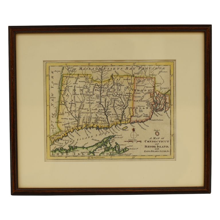
1776 Connecticut & Rhode Island Map Lithograph - Item/Description: Original 1776 hand-colored copperplate engraved folding map titled ”A Map of Connecticut and Rhode Island, with Long Island Sound, &c.” published anonymously in London for the November 1776 issue of The Gentleman's Magazine. The piece outlines early colonial roads, towns, and pictorial topography across southern New England, including a noted copper mine near Simsbury. Framer label adhered to backing from Compass Rose, a professional gallery specializing in antique maps and fine custom conservation framing. Wood frame. (Revolutionary War Cartography, Colonial New England Cartography, 18th-Century, Fairfield, New Haven, and New London Counties) Material: Lithograph on Paper, Wood Dimensions: Image size: Height: 7”; Width: 9 1/4”. Framed: Height: 11 3/4”; Width: 14” Condition: Signs of age and wear include surface scratches, scuffing to frame. Discoloration. toning, creasing, Age: c. 1776 Provenance: Private Estate Shipping: $35 Standard (within Continental US) provided In-House. Shipping method is determined by item size, type, fragility and specific characteristics. Shipping and handling costs are calculated based on average carrier rates, delivery distance and packing complexity. PLEASE NOTE: All orders over $500 will require shipping insurance to be paid by the buyer. A fee of $1.50 per $100 of coverage will be added to your shipping and handling cost(s). International Bidders: Please email admin@taurusauctions.com for a shipping quote to your country. Condition Reports: Please see all photos and read entire description before requesting condition reports. Please contact us before bidding if you require additional photos or have any questions regarding condition. Email admin@taurusauctions.com for all condition reports. See all Terms and Conditions prior to bidding. 1049