Bidspirit auction | EDO PERIOD WOODBLOCK MAP OF
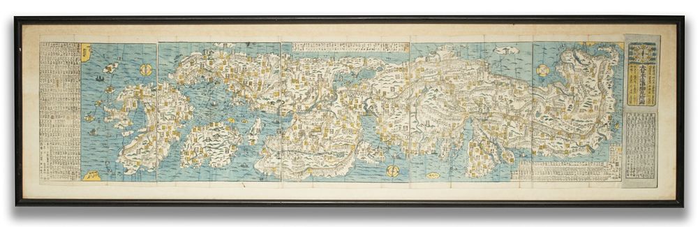
EDO PERIOD WOODBLOCK MAP OF KYOTO CIRCA 1840 - Circa 1840 A detailed woodblock-printed folding map of Kyoto, depicting the historic imperial capital with its principal streets, temple districts, palace precincts, and surrounding mountain ranges. with other features typical of commercially issued travel maps produced for visitors and pilgrims during the late Edo period. Overall framed size measures 18.5 x 64.5 inches. Without proof of exemption, be aware that internet sales tax applies to all Internet transactions and local sales tax may apply to local pick-up transactions. We happily provide seamless in-house packing and shipping services on nearly everything we sell. Until further notice, we cannot offer international shipping in-house. Dimensions Overall framed size measures 18.5 x 64.5 inches. Condition Very good condition, noting the expected fold lines. Provenance Provenance: The estate of John Adair Jr. (1942-2025), founder and proprietor of Kurofune Antiques, Tokyo (est. 1978). A world-renowned destination for Japanese basketry, prints and furniture, Kurofune was a landmark destination featured in The New York Times, The New Yorker, and The Wall Street Journal.