Bidspirit auction | Julius Bien, ”Map of the
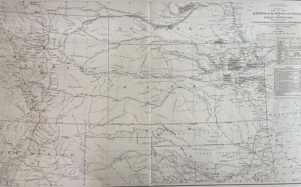
Julius Bien, ”Map of the States of Kansas and Texas and Indian Territory” - Julius Bien, ”Map of the States of Kansas and Texas and Indian Territory” A framed historical map titled 'Map of the States of Kansas and Texas and Indian Territory'. It includes detailed geographical and territorial information from the late 19th century, likely produced by Julius Bien. This important military map depicts Kansas, North Texas, Indian Territory, and parts of the Territories of Colorado, New Mexico, and Nebraska in extreme detail. Nearly every city, town, roadway, waterway, and railroad is identified. Indian Reservations and missions are delineated. Published for the U.S. Government under the direction of the Secretaries of War by Julius Bien. Map - 27.5” X 17” Frame - 28” X 22” X 1”