Bidspirit auction | Thomas Gamaliel Bradford (Massachusetts, 1802-1887),
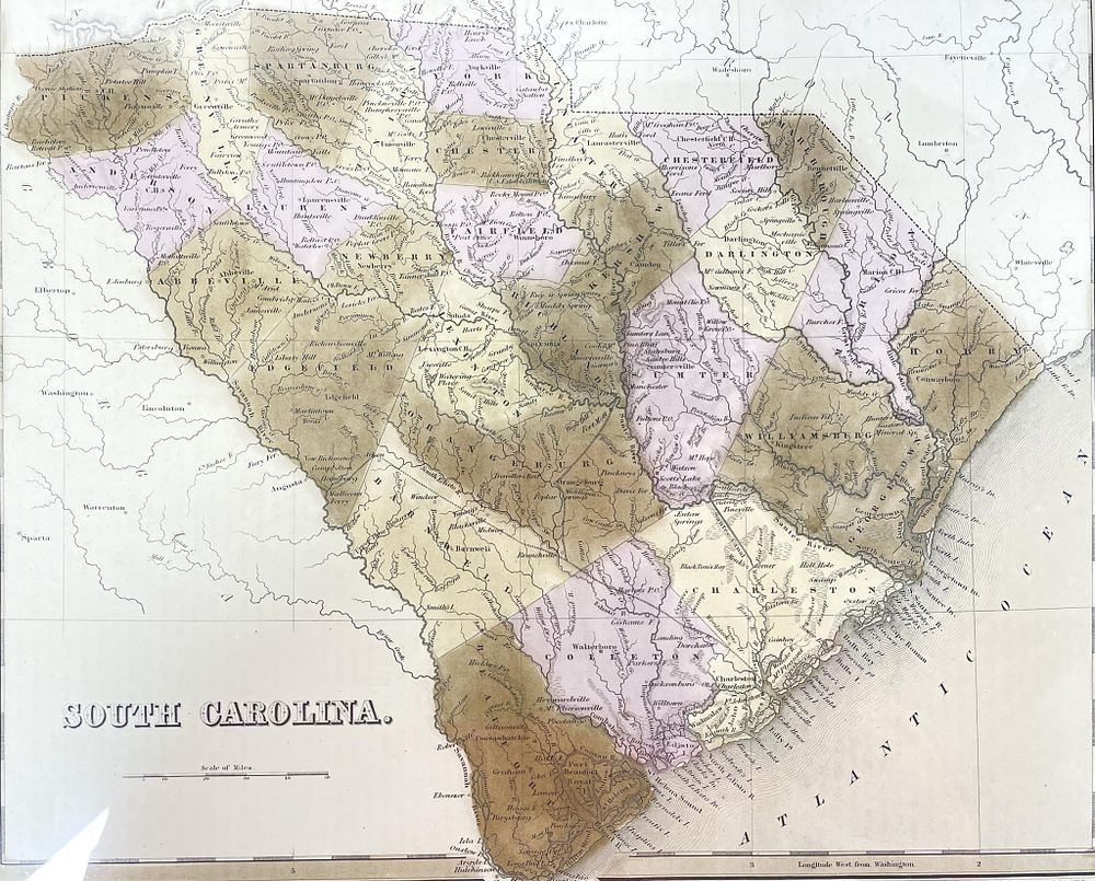
Thomas Gamaliel Bradford (Massachusetts, 1802-1887), ”South Carolina Map” - Thomas Gamaliel Bradford (Massachusetts, 1802-1887), ”South Carolina Map” A framed antique map of South Carolina by Thomas Gamaliel Bradford, featuring detailed geographical and political boundaries. The map is colored with shades of brown and pink to differentiate regions. It is presented in a gold frame with a matte border. The map appeared in 'An Illustrated Atlas of the United States and the Adjacent Countries' and was published in Philadelphia in 1838. Map - 15” X 12” Frame - 21.5” X 18.5” X 1”