Bidspirit auction | Map of the Land of
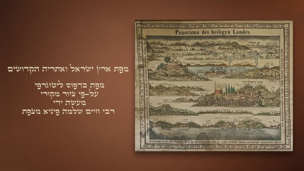
Map of the Land of Israel and the Holy Atria. - Map of the Land of Israel and the Holy Atria Panorama des Heiligen Landes [Panorama of the Holy Land]. A map in lithographic print, based on an original drawing made by Rabbi Chaim Shlomo Pinia Mzafat, [circa 1875]. The original map was printed on cloth in 1875. Here we have a black and white lithographic print, identical to the original print and different from later facsimiles. The mountains, the seas and the walls of the city of Jerusalem are painted by hand. As part of the environment, it was printed ”The shape of the Holy Land to its borders with all its landmarks and its borders, its cities and its villages, its mountains and its hills...” The map is divided into five horizontal stripes, according to the regions of the country, from west to east (the east is in the upper part). includes an impressive description of the cities, streams and mountains, Zions and tombs of the righteous, the shape of the city of Jerusalem and the place of the temple, the Western Wall, the tombs of the kings; Bethlehem and the tomb of Rachel his mother; The city of Paki'in and the Rashbi Cave; the city of Safed and the tombs of the Tanaim and the sages of Kabbalah, and more. Specifications: 60/47 cm. Good condition. A few moth marks on the edges without damage to the map and inscription, signs of dampness below. Framed in an antique frame.