Bidspirit auction | (PTOLEMY).
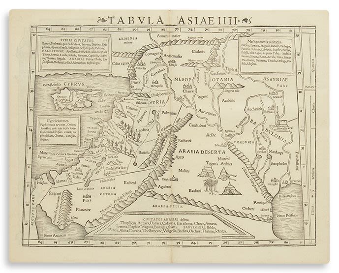
(PTOLEMY). - Tabula Asiae IIII. Double-page woodcut map. 11.5 x 15 inches (29 x 38) to mat. Finely framed. c. 1515 (or later): This map features Syria, the Holy Land, Iraq (i.e. Babylonia), part of Iran (i.e. Mesopotamia), the northern portion of Saudi Arabia, southern Turkey and Armenia. In the lower right is the mouth of the Euphrates River in the Persian Gulf. At lower left is the northern part of the Red Sea. Cyprus is to the west of Syria.