Bidspirit auction | (HOLOCAUST) Stadtplan von Warschau [”CITY-MAP
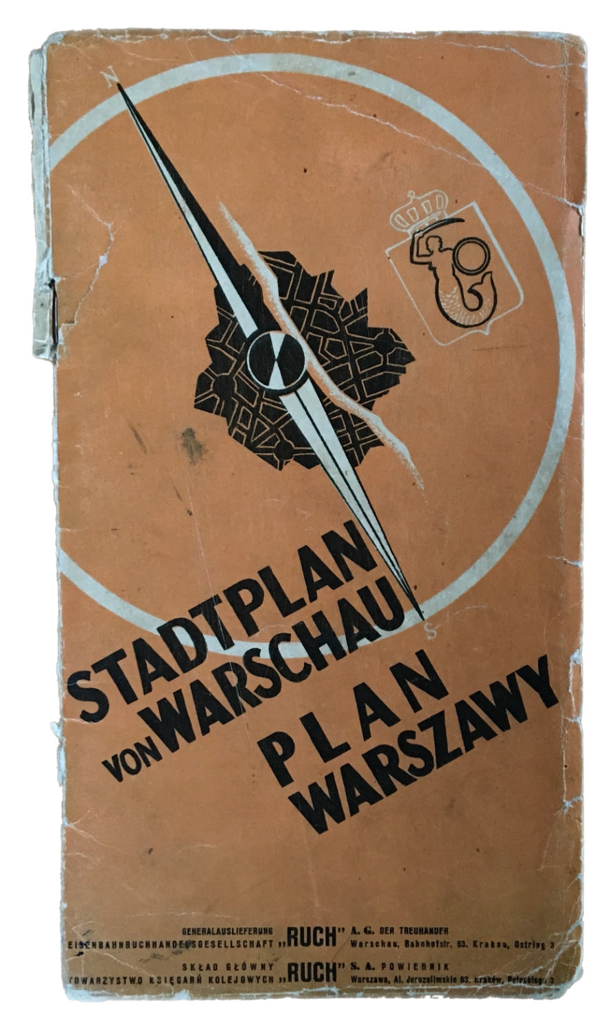
(HOLOCAUST) Stadtplan von Warschau [”CITY-MAP OF WARSAW”]. Text in German and Polish. Large 4-color folding-map (scale 1:20,000). Sixteen pages of introductory text, including street index and ads. AREA OF THE WARSAW GHETTO RINGED BY LIGHT BLUE BORDER. Light wear, few minor tears along creases. 27 x 34 inches (68.5 x 86.3 cm). Warsaw, Ruch, 1941. The Warsaw Ghetto was the largest of the Nazi ghettos during World War II. At its height, as many as 460,000 Jews were imprisoned there, in an area of 1.3 square miles, with an average of nine persons per room, barely subsisting on meager food rations. The Germans sought to racially “purify” the city, central to which was the segregation and removal of its Jewish community who were henceforth cast with a doomed future. The present map clearly displays how the Nazis radically restructured Warsaw’s demographic infrastructure as a way to exclude the city’s Jews. “The Holocaust Is Largely a Spatial History, ” see interview with Harrie Teunissen, www.ehri-project.eu/interview-harrie-teunissen-map-collector and see map no. 15 in Harrie Teunissen, Topography of Terror: Maps of the Warsaw Ghetto, http://www.siger.org/warsawghettomaps/