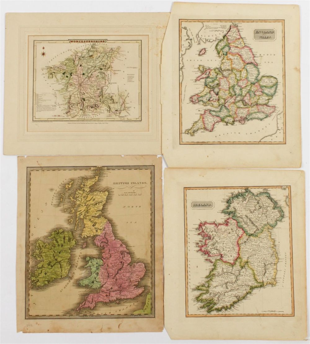
Bidspirit auction | Biritsh Islands, Four Antique Maps
Biritsh Islands, Four Antique Maps - Description: A group of maps of the British Islands, including an 1840 Jeremiah Greenleaf map of the British Islands, an 1823 map of Ireland by Fielding Lucas, and 1823 map of England and Wales by Fielding Lucas, and an 1807 map of Worcestershire by George Cole and John Roper. Type: Map Materials: Paper Date: Early to mid 19th century Maker: Various Dimensions: Worcestershire: 9.5” x 11.5” (sheet). England and Wales: 14” x 11.5” (sheet). Provenance: From a Glenside, Pennsylvania collection. Condition: Good condition, some toning, creasing, light foxing, and light soiling.