Bidspirit auction | Eight Antique Maps, Mostly Europe
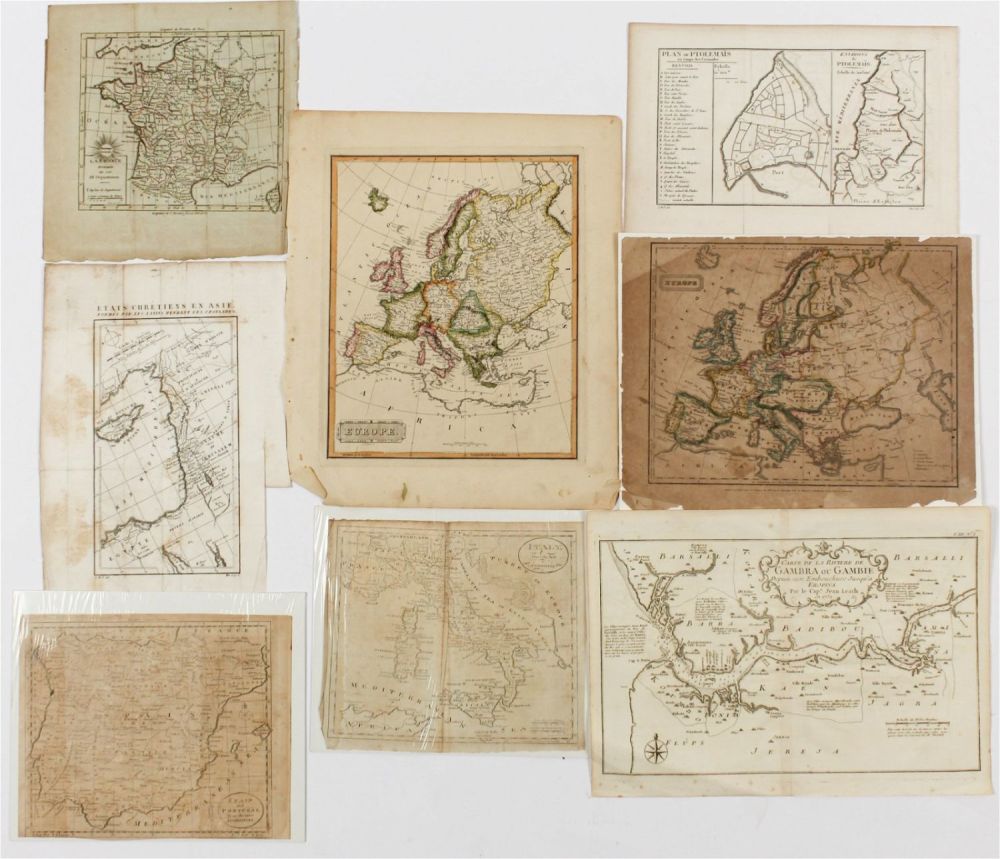
Eight Antique Maps, Mostly Europe - Description: A group of antique maps including an 18th century map of Spain and Portugal by Thomas Jefferys, a ca. 1800 map of Italy from the Guthrie atlas, an early 19th century Henry Schenck Tanner map of Europe, an 1821 map of Europe by William C. Woodbridge, a ca. 1800 map of France, a ca. 1800 map of Israel and the Southeast Mediterranean, a 1747 Jacques Bellin map of the Gambia river, and a ca. 1800 map of Ptolemais (Acre) during the crusades. Type: Map Materials: Paper Markings & Inscriptions: Some marked Date: 18th and 19th cetury Maker: Various Dimensions: Spain and Portugal: 7.75” x 9.75”. Ptolemais: 8” x 11.5” Provenance: From a Glenside, Pennsylvania collection. Condition: Generally good condition with creasing, scattered foxing, toning, etc.