Bidspirit auction | C. 1843 MAP, TURKEY IN
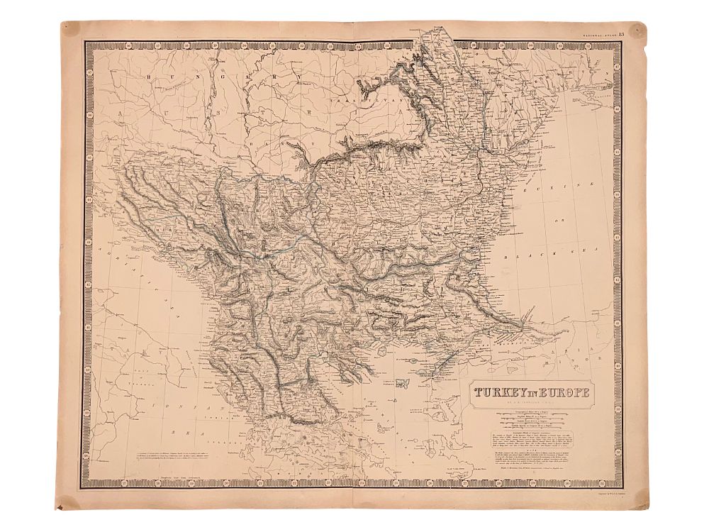
C. 1843 MAP, TURKEY IN EUROPE, ALEXANDER KEITH JOHNSTON, NATIONAL ATLAS - A circa 1843 edition of Scottish cartographer Alexander Keith Johnston's (1804–1871) map of Turkey in Europe, from 'The National Atlas of Historical, Commercial and Political Geography'. The legend contains information on the borders and various lands within Turkey, then still the heartland of the Ottoman Empire. 19th century. Dimensions: 21 1/4 x 25 1/2 in., (54 x 64.8 cm.) Condition: Minimal foxing. Edges slightly frayed. Small split at lower end of center-fold. Corners with pinholes. Please make all inquiries before bidding. All statements contained in the catalog, condition reports, invoices, advertisements, or elsewhere concerning the authorship, attribution, origin, date, age, period, culture, source, provenance, authenticity, genuineness, condition, rarity, importance, or value of any lot are statements of opinion only and shall not be construed as representations, warranties, or statements of fact. All lots are sold ”as-is”, refer to our T&C. Helios Auctions does not offer in-house shipping. We will provide a list of recommended shippers upon request.