Bidspirit auction | C. 1587 ABRAHAM ORTELIUS MAP
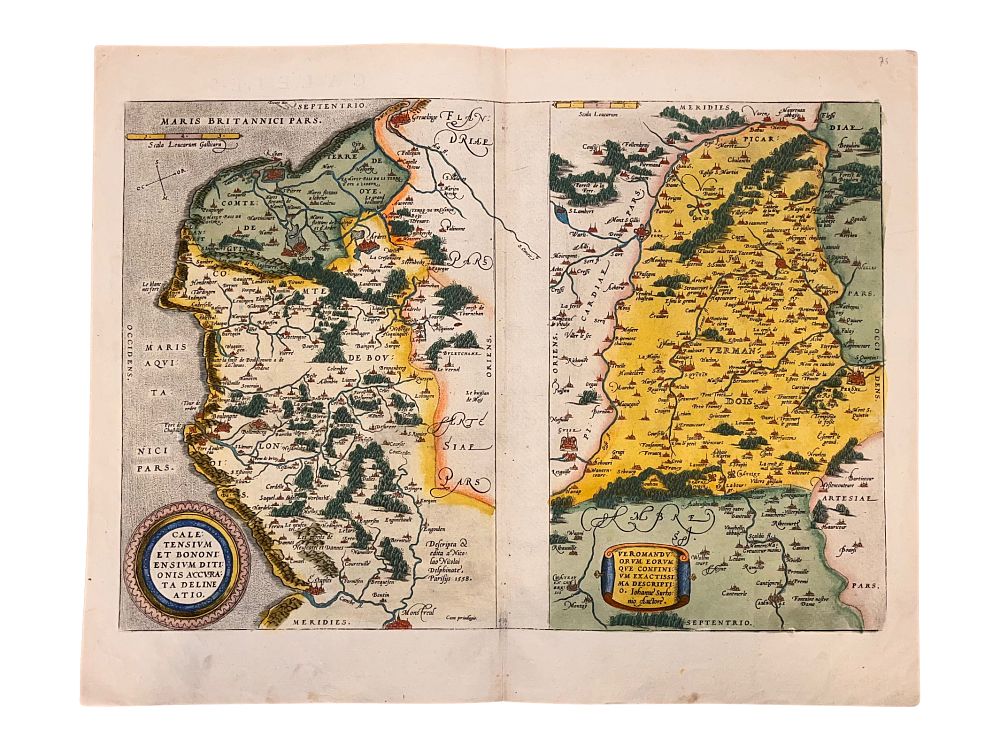
C. 1587 ABRAHAM ORTELIUS MAP OF CALAIS AND VERMANDOIS, FRANCE, HAND-COLORED - A circa 1587 hand-colored edition of Belgian cartographer Abraham Ortelius' (1527-1598) map of Calais and Vermandois in the North of France, including the border with Flanders, based on the work of Jean de Surhon (d. 1594). The major rivers can be seen clearly, as well as many important cities such as Calais, Boulogne, Guise, and Saint-Quentin. The verso contains historical and geographical information in Latin. The legends read 'Caletensium et Bononiensium Ditionis Accurata Delineatio' and 'Veromanduorum Eorum que Confinium Exactissima Descripti o. Iohanne Surhonio Auctore'. 16th century. Dimensions: 16 1/4 x 20 3/8 in., (41.3 x 51.8 cm.) Condition: Minimal foxing. Colors bright. Some small smudges at margins. Please make all inquiries before bidding. All statements contained in the catalog, condition reports, invoices, advertisements, or elsewhere concerning the authorship, attribution, origin, date, age, period, culture, source, provenance, authenticity, genuineness, condition, rarity, importance, or value of any lot are statements of opinion only and shall not be construed as representations, warranties, or statements of fact. All lots are sold ”as-is”, refer to our T&C. Helios Auctions does not offer in-house shipping. We will provide a list of recommended shippers upon request.