Bidspirit auction | 1938 US General Land Office
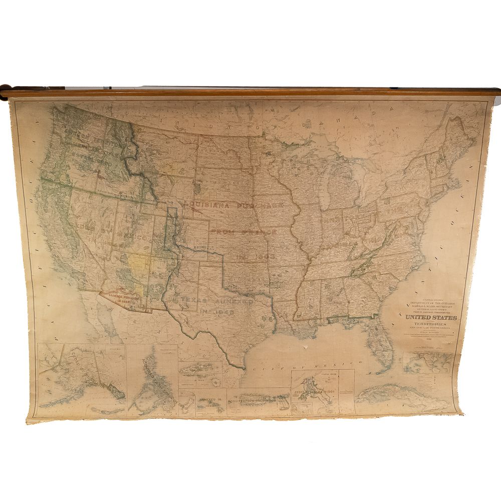
1938 US General Land Office Wall Map - An impressive 1938 wall map of the United States, including territories and insular possessions, issued by the United States Department of the Interior, General Land Office under Secretary Harold L. Ickes and Commissioner Fred W. Johnson. Engraved by R.F. Bartle & Co. in Washington, D.C., this large-scale printed paper map features heavy canvas backing and is mounted to a top wooden hanging bar with two metal brackets attached to the reverse. It includes detailed inset maps depicting key territorial acquisitions (such as the Louisiana Purchase, Texas Annexation, Alaska, and the Panama Canal Zone) along with public land surveys, national parks, and military reservations. Visible condition shows age-appropriate wear including toning, foxing, scattered creasing, edge fraying, tears along the cloth borders, and minor surface loss, though graphics and text remain legible throughout. H 62”, W 84”, D 2”. Please see photos for condition. From the Rider Collection. Note: Pickup/Transport required. Contacts available Post-Auction.