Bidspirit auction | Four 18th & 19th Century
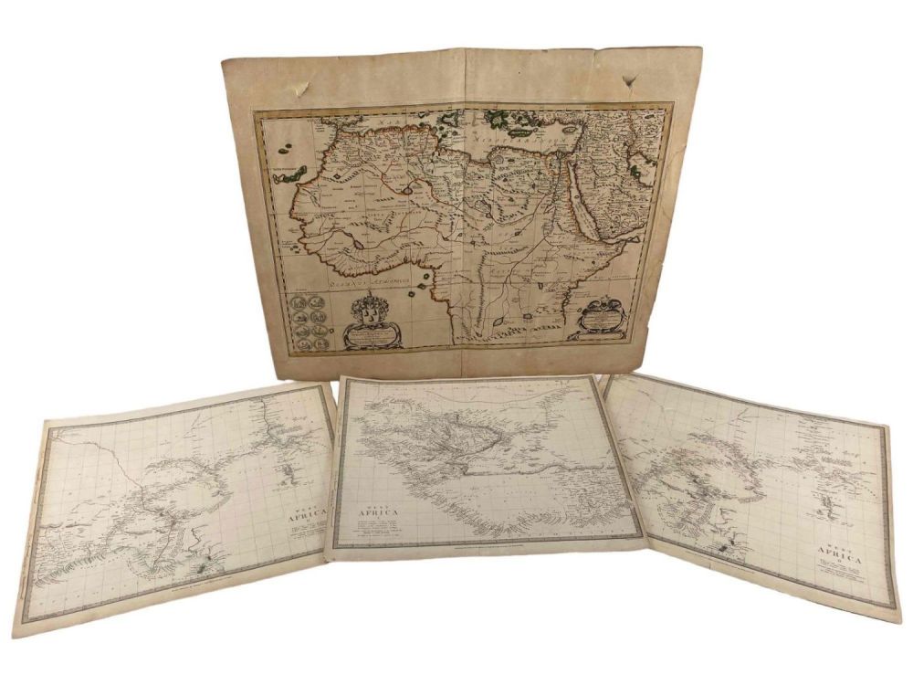
Four 18th & 19th Century Maps Of Africa - Four 18th & 19th Century Maps Of Africa. Largest marked ”Africae Antiquae et quarundam Europae, Asiae Queadia Centium Regionum... edita a Nicolao Blancardo. batavo. Leidensi, Histiarum et Politiices Professore.” Two marked ”West Africa.. Published by the Society for the Diffusion of Useful Knowledge...1839.” One marked West Africa II, London, Published by Chapman & Hall, 186, Strand, April 15th, 1839.” Largest 24.5W x 19.25H in. Smallest 16.0W x 13.0H in. All Measurements are Approximate.