Bidspirit auction | F. Du Vivier Map of
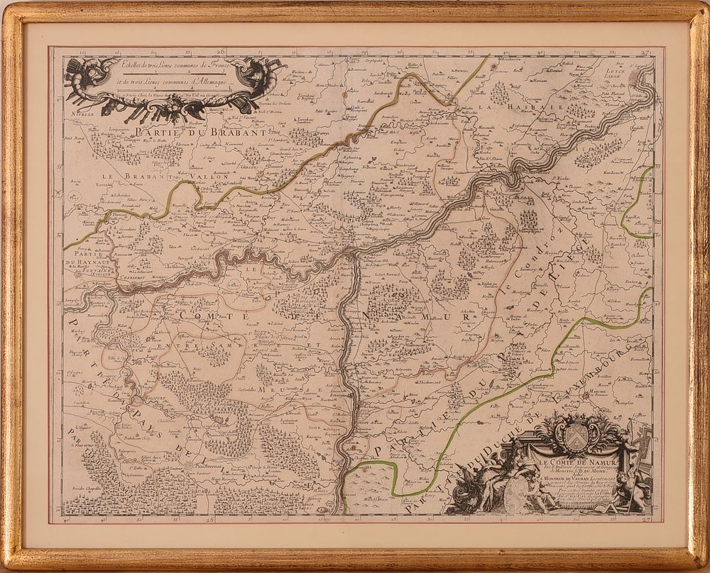
F. Du Vivier Map of Namur Province, Belgium, 1689. - Published by Pierre Du Val in 1689. This map is part of the atlas ”Cartes de geographie par Le Rd. Père Placide,” which was later collected into an atlas in the early eighteenth century. The atlas, dated 1714, was published by Melle Du Val and includes 43 engraved maps.16.25 x 21.25 inches, sight. Framed, 19.5 x 24.5 inches.