Bidspirit auction | 1815 CAREYS ATLAS WORLD MAP
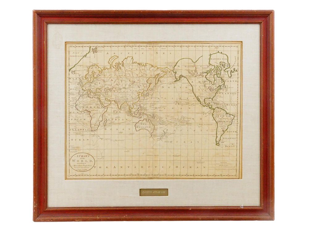
1815 CAREYS ATLAS WORLD MAP FEATURING CAPT COOK ROUTE - Mathew Carey (American, 1760–1839), Philadelphia. A copperplate engraved uncolored map on paper, circa 1814-1815. The expansive map displays a global view utilizing Mercator's projection, prominently charting the track lines of Captain James Cook's historic voyages across the oceans and along the southern ice fields. The cartography exhibits fascinating period geographic details, including the labeling of ”New Holland” for Australia, an incomplete Antarctic region, and early conjectures of the North American Northwest coast. An oval title cartouche situated at the lower left reads ”A CHART / of the / WORLD, / According to / Mercators Projection, / Shewing the latest Discoveries / of Capt. COOK.” The upper longitudinal margin uniquely incorporates time markings relative to ”XII at Philad.a” (Philadelphia). The map is housed in a wooden frame with a textured linen mat featuring a gilt inscription reading ”CAREY'S ATLAS 1815” centered in a cutout window below the sheet. This 1815 designation likely reflects the specific binding year of the extracted volume or a framer's proximate dating of the 1814 edition. antique cartography, early American printing, historic globe chart, maritime exploration, geographical antiquities, vintage framing. Dimensions Frame 26 x 22 in. Image 15 x 19 in. All measurements are approximate. Condition Overall good antique condition consistent with age. Visible age-related toning, scattered foxing throughout, and natural paper undulation. No obvious tears, losses, or major restorations observed. Not examined outside of the frame.