Bidspirit auction | ANTIQUE AMERICAN MAP 100 MILES
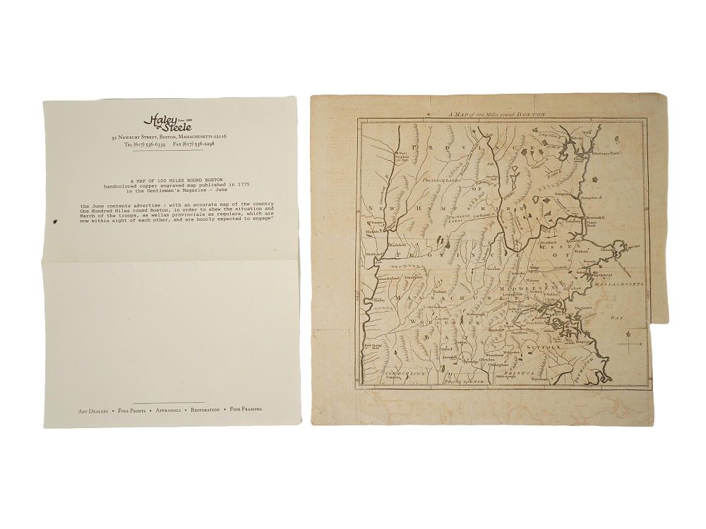
ANTIQUE AMERICAN MAP 100 MILES ROUND BOSTON 1775 - An antique hand-colored copperplate engraved map titled A Map of 100 Miles round Boston, published in London in June 1775 for The Gentlemans Magazine. Issued at the outset of the American Revolutionary War, it is recognized as one of the earliest printed maps to identify Bunkers Hill, illustrating the region from Cape Ann to the Connecticut River with pictorial relief and historic landmarks. Antique American Maps And Cartography Collectibles. Dimensions 11 x 11 3/4 in. All measurements are approximate Condition Overall good vintage condition. Signs of age and wear. Stains, torn paper. Refer to photos. Sold As Is.