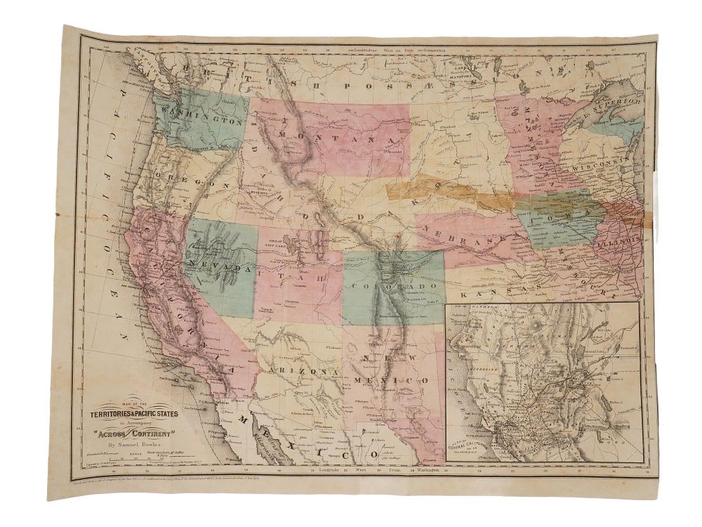
Bidspirit auction | ANTIQUE 1865 AMERICAN MAP TERRITORIES
ANTIQUE 1865 AMERICAN MAP TERRITORIES PACIFIC STATES - An antique 1865 topographical map of the Territories and Pacific States, drawn by Samuel Bowles and engraved by J.H. Goldthwait, originally issued to accompany the book Across the Continent, A Summers Journey to the Rocky Mountains, the Mormons, and the Pacific States. Printed in New York by G.W. and C.B. Colton and published by Samuel Bowles and Company, the map illustrates the western United States from the Pacific Ocean to Illinois and the Great Lakes. Antique American Maps And Cartography Collectibles. Dimensions 14 1/4 x 19 in. All measurements are approximate Condition Overall good vintage condition. Signs of age and wear. Stains, creases and restored . Refer to photos. Sold As Is.